

Wardogs Maps
Wardogs Interactive Maps
Bakurani, Ozeti, and Zestafona are playable today. Explore them in 2D or view full 3D maps with all buildings, structures, and terrain elevation.
How a Wardogs map is played
The Control Zone
One zone near the centre of the map is the objective for the whole match. Every player standing inside it adds a point to their faction count, and the highest count holds the zone until the tick bar fills and scores a match point. Its position moves between set locations, so the towers that matter change with it.
Towers and the Hot Zone
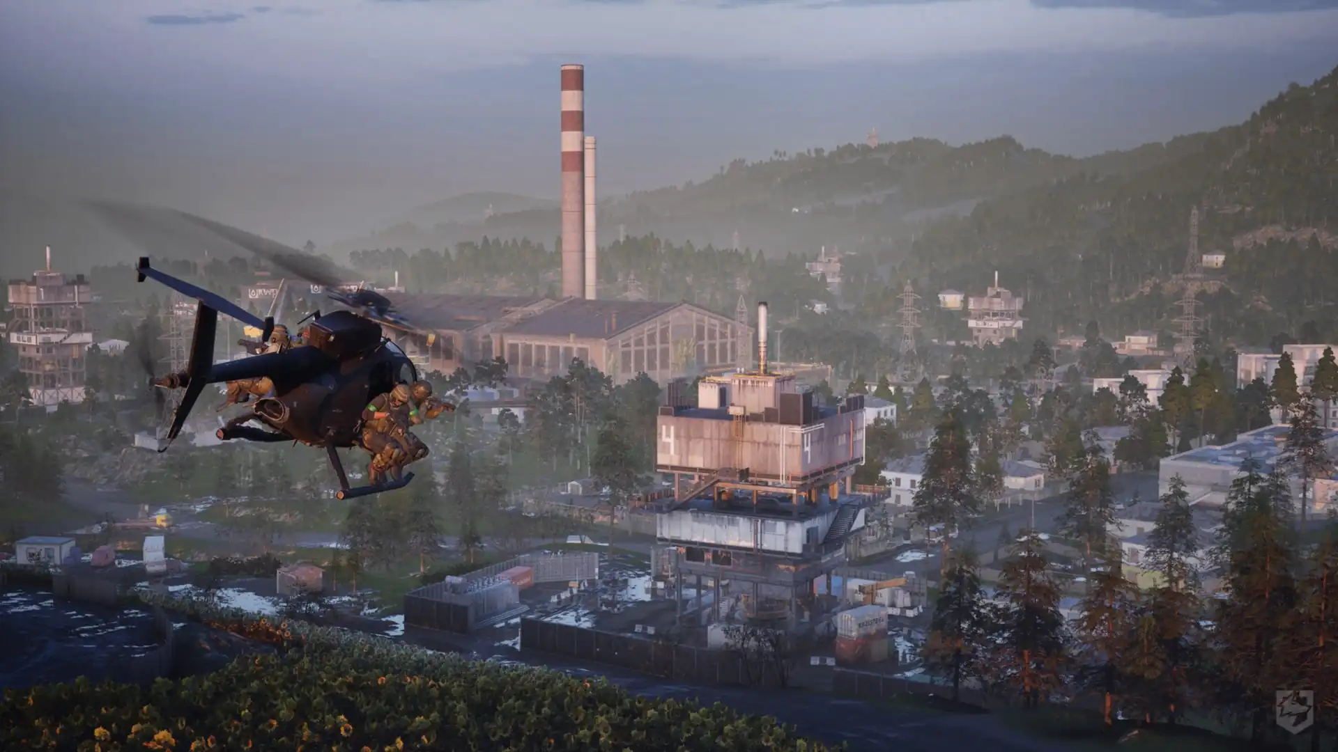
Towers are the capture points inside the Control Zone, and only some of the towers on the map are live objectives. A smaller Hot Zone roams within the zone as well, and players standing in it count double toward the faction count and earn extra cash, which pulls fights to one corner at a time.
Three factions, 99 players
Matches are fought between three factions of 33 players: Lonestar, Valkyra and Manticore. You pick a side each time you play rather than being assigned one. The colour of the Control Zone tells you who currently holds it, and our map lets you preview each faction's colours over the towers.
Artillery calculator
Place the gun and the target on any map and read the azimuth, the elevation in mils and the time of flight. Every calculation provides exact, verified solutions that match your in-game dial rather than approximations. The 3D map draws the shell's trajectory arc over real terrain, and an interactive gunner overlay mirrors the sight you are copying onto.
Artillery questions
How do I calculate an artillery firing solution in Wardogs?
Open any map, choose the Artillery tab, then place the gun and the target. The calculator returns the azimuth, the elevation in mils and the time of flight, with calibrated precision so the figures match your in-game dial exactly.
What are the L81 Mortar and L52 Cannon ranges?
The L81 Mortar reaches 80 to 684 metres and fires 120x800mm rounds. The L52 Cannon, the artillery turret on the TNK_01, reaches 600 to 2600 metres with 155mm shells. Both figures represent verified exact ballistics.
Why does the cannon show two firing solutions?
The L52 Cannon reaches most ranges twice: once on a low, fast arc and once on a high, slow one. A 2000 metre shot is 251 mils and 12.3 seconds on the low arc, or 1048 mils and 33 seconds on the high arc. The high arc takes far longer but clears terrain the low arc would hit.
Which Wardogs maps have a 3D view?
Bakurani has full 3D terrain with real elevation, buildings and props. The 3D view draws the shell’s arc over the landscape, so you can see whether a ridge is in the way before firing.
What is on the Bakurani map
Bakurani is 256 square kilometres of Eastern European mountains and almost none of it is ever in play. The town sits on the valley floor with cultivated parcels around it and forested ridges on both sides, and the Control Zone usually lands on the town or the factory district beside it, so most of a match is fought over a few hundred metres of apartment blocks and industrial sheds.
The map names every tower capture point and separates the ones that can actually be taken from the abandoned ones that only look like objectives. It also carries the named control areas, settlement and terrain labels, faction spawns, safe zones, garage vendors, vehicle boards and fuel points, plus every ladder in the level.
What is on the Ozeti map
Ozeti is the first battleground outside the Caucasus, built around a town in a wooded river basin rather than a valley floor. A football stadium and its car parks sit at one end, apartment blocks and shops run through the middle, and a church looks down from the hill above. Farmland and forest fill the ground between, and the river cuts across the south.
The map names the four towers and carries all 55 control areas from the game’s own data, drawn both as filterable outlines and as the callout labels players use. Its terrain is full colour rather than the greyscale Bakurani uses, with a Map Tint slider in the map settings that fades it to grey and then darkens it.
What is on the Zestafona map
Zestafona shifts the conflict to North America, laid out along a meandering river bend with settlement clusters, brick warehouses, farmland parcels, and forested terrain defining the active battle area.
The map details the three live tower objectives, safe zones, facilities, and all official regional callouts. Inspect the complete layout in high-detail 2D or experience real elevation and sightlines with the interactive 3D terrain viewer.